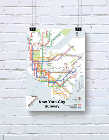
Brooklyn rapid transit map print, 1912
This is a map I drew of the Brooklyn rapid transit system, circa 1912. The Brooklyn Rapid Transit company unified all of the lines together in the borough of Brooklyn. Later, it would be merged into the city subway system of NYC. I made this one as an homage to my old neighborhood, which is off of the old Fulton Street Elevated, and where you can still see traces of it. This map was featured in Gothamist and Atlas Obscura.
- Printed on satin finish 80# cover stock - 220 GSM in Nashville, Tennessee.
- Image will be printed with a border for framing.
- Please allow five business days for production before it gets shipped out.
- Free standard shipping within the US.
- Proudly made in the USA!
All designs I sell here are made by me! If there's something you'd like custom-made, shoot me a message.