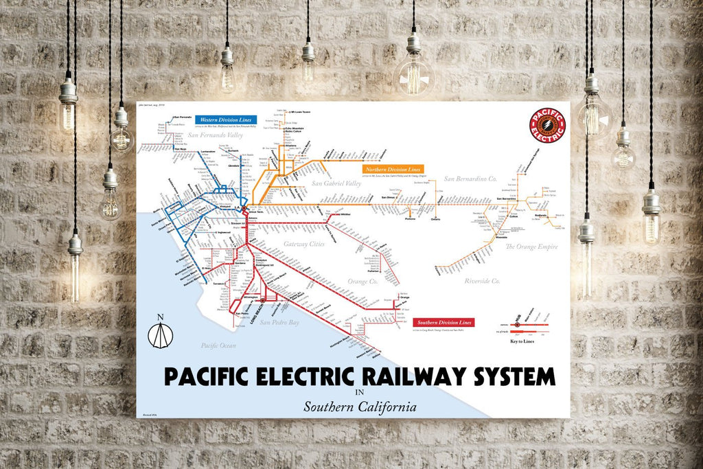

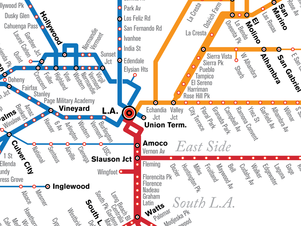
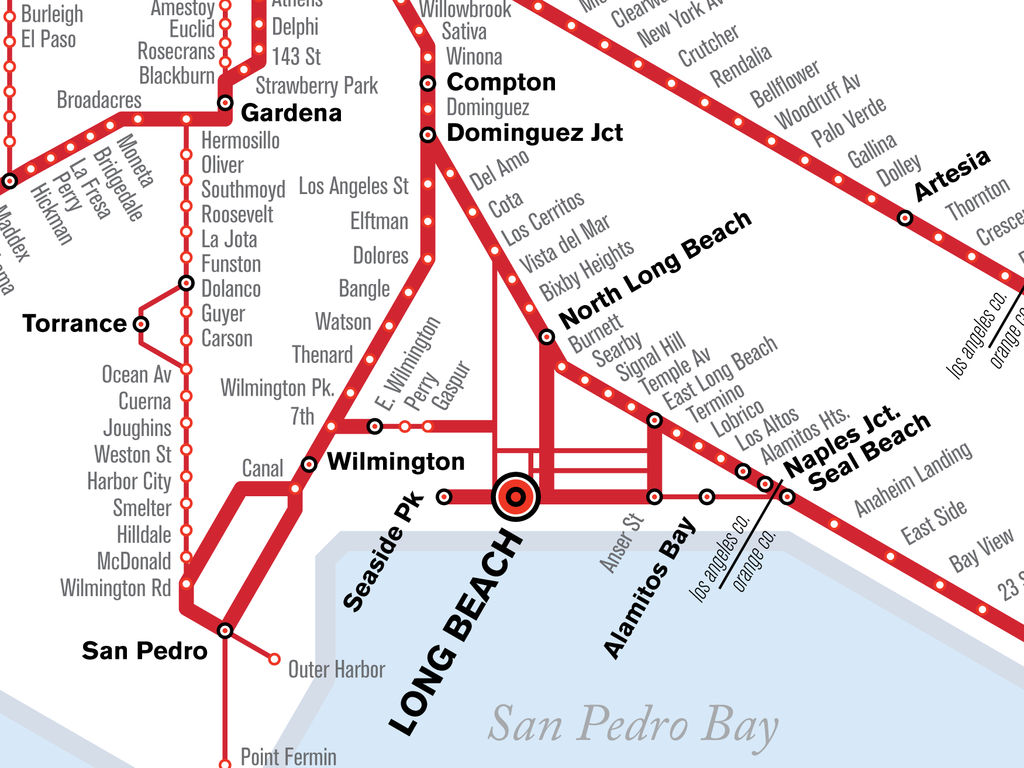
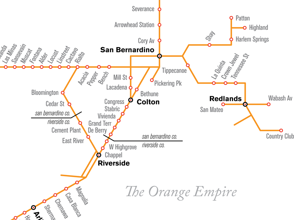
Los Angeles Pacific Electric Railway streetcar map print, 1926
Los Angeles had the largest streetcar system in the world before it was demolished after World War II. (The Red Cars were the impetus for the Lost Subways of America project.) This is the companion map to my map of the LA freeways, and is period accurate for 1926. This is the recreation of their system, as it was in the days when you could take a streetcar from Santa Monica to Riverside, or from the San Fernando Valley to Orange County.
This map was featured in Atlas Obscura, Los Angeles Magazine, Curbed, and LA Taco.
- Designed in New York City, printed in Nashville, Tennessee.
- Printed on satin finish 80# cover stock - 220 GSM.
- Image will be printed with a border for framing.
- Please allow five business days for production before it gets shipped out.
- Free standard shipping within the US!
All designs I sell here are made by me! If there's something you'd like custom-made, shoot me a message.